
General Description
| UN/LOCODE: | GESUP |
| Coordinates: | 42°01’79” N / 41°42’41” E |
| B. A. Nautical Chart No: | 3317 |
| Admiralty Sailing Directions: | NP24 |
| Time zone:
Port Security Level: |
UTC +4 hrs
1 |
- Annual throughput capacity of Baku – Supsa pipeline is 7 million tons
- Overall volume of Terminal’s 4 storage tanks of total capacity 160000 cubic meters
In year 2012, 3922306 tons of oil were transported through the Supsa Terminal that exceeded volumes of 2011 by 2.8%. In 2011, the Socar Oil Company had transported 562 million tons of oil through the Supsa Terminal. The SPM is located approximately 2 n/m west of the Supsa river mouth and 8 n/m south of the port of Poti in the open sea and is unprotected from the weather. The water depth at the terminal is 50 meters and shallows to 20 meters when approximately 0.45 n/m directly inshore from the buoy.
Pilotage & Towage is compulsory for all ships. Night time berthing/un-berthing is not permitted.
Anchorage Areas
There are 2 anchorage areas:
- Area No. 1
- Area No. 2
Port Restrictions
- Max LOA allowed 290.0 meters
- Max allowed draft at SPM 20.0 meters
- Salinity varying between 1.009 / 1.010
Tide
Supsa has no tidal variations.
Weather Restrictions
Supsa is an ice free port.
Working Hours
- Supsa port operates 24/7
- Navigation only during daylight
Services
Crew changes, provision supply, garbage and spills disposal cannot be performed.
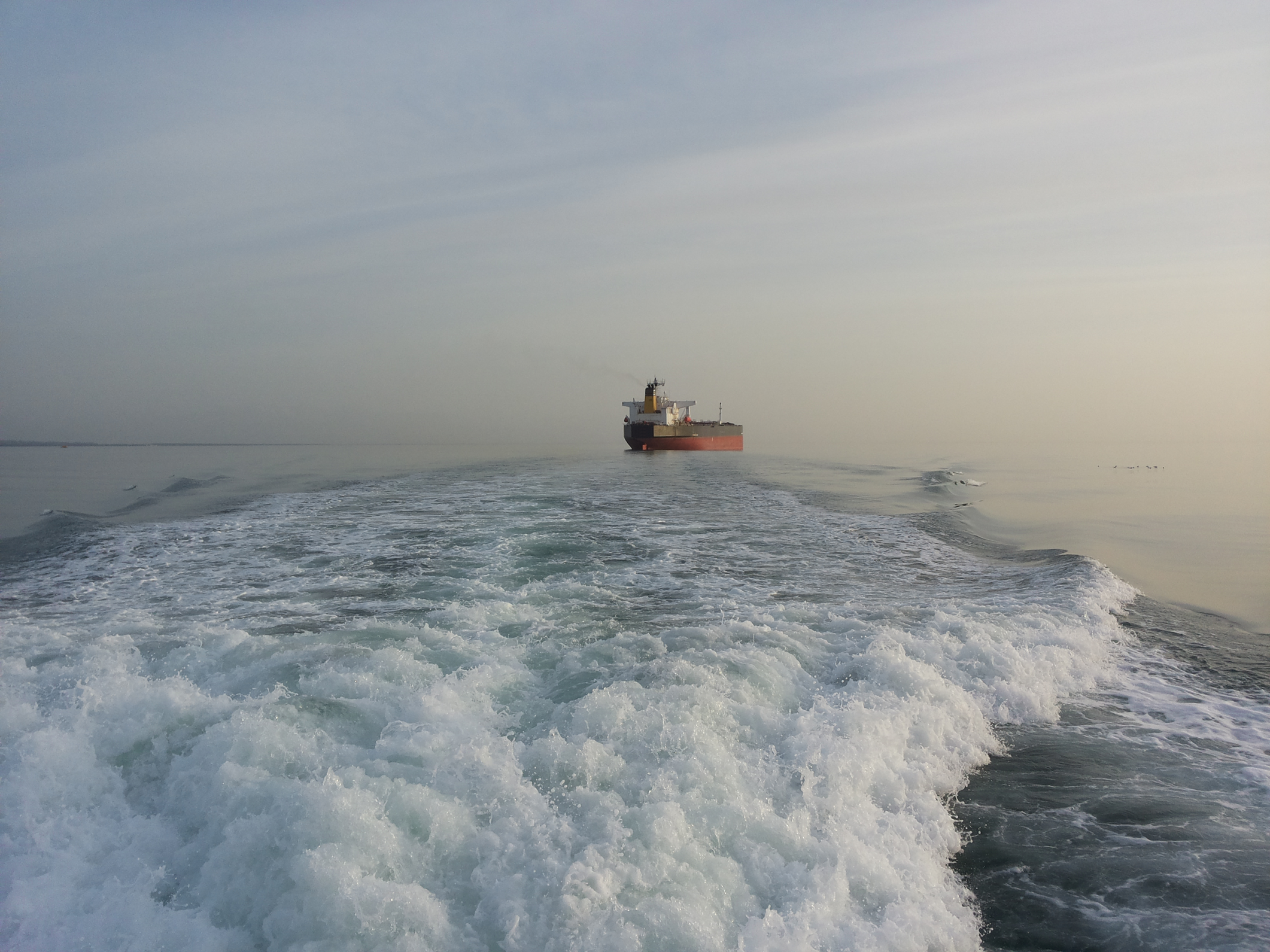
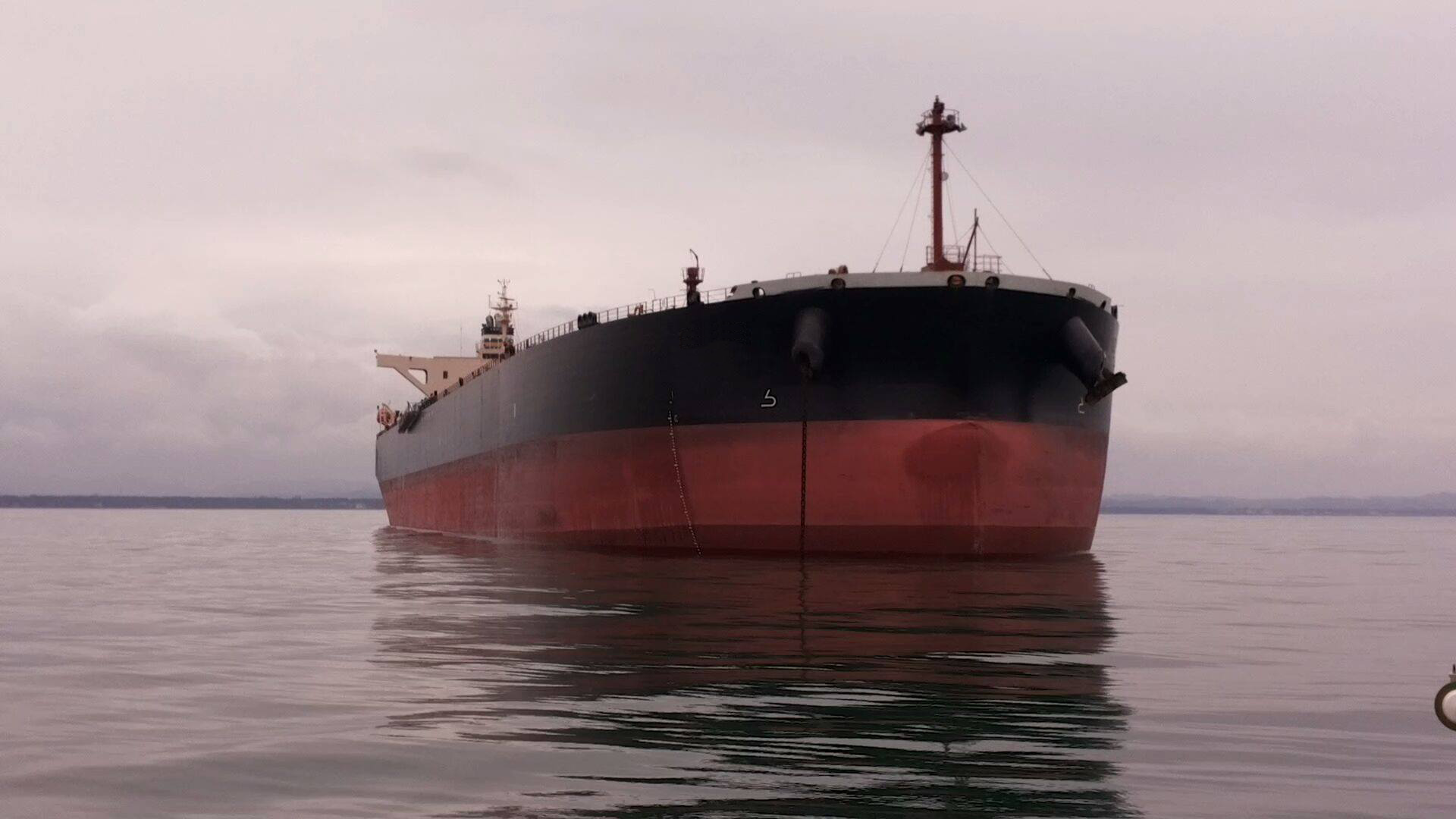
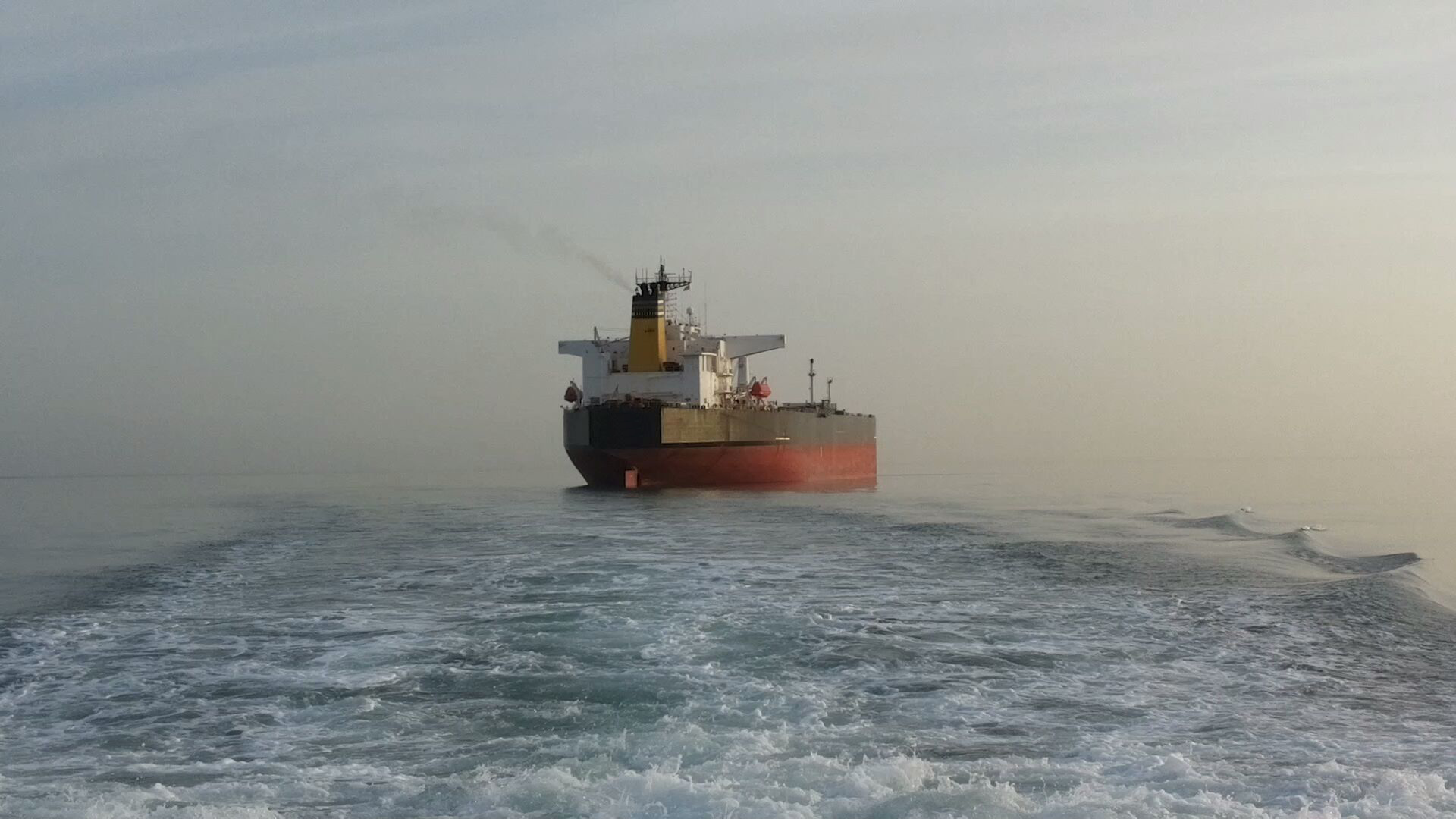
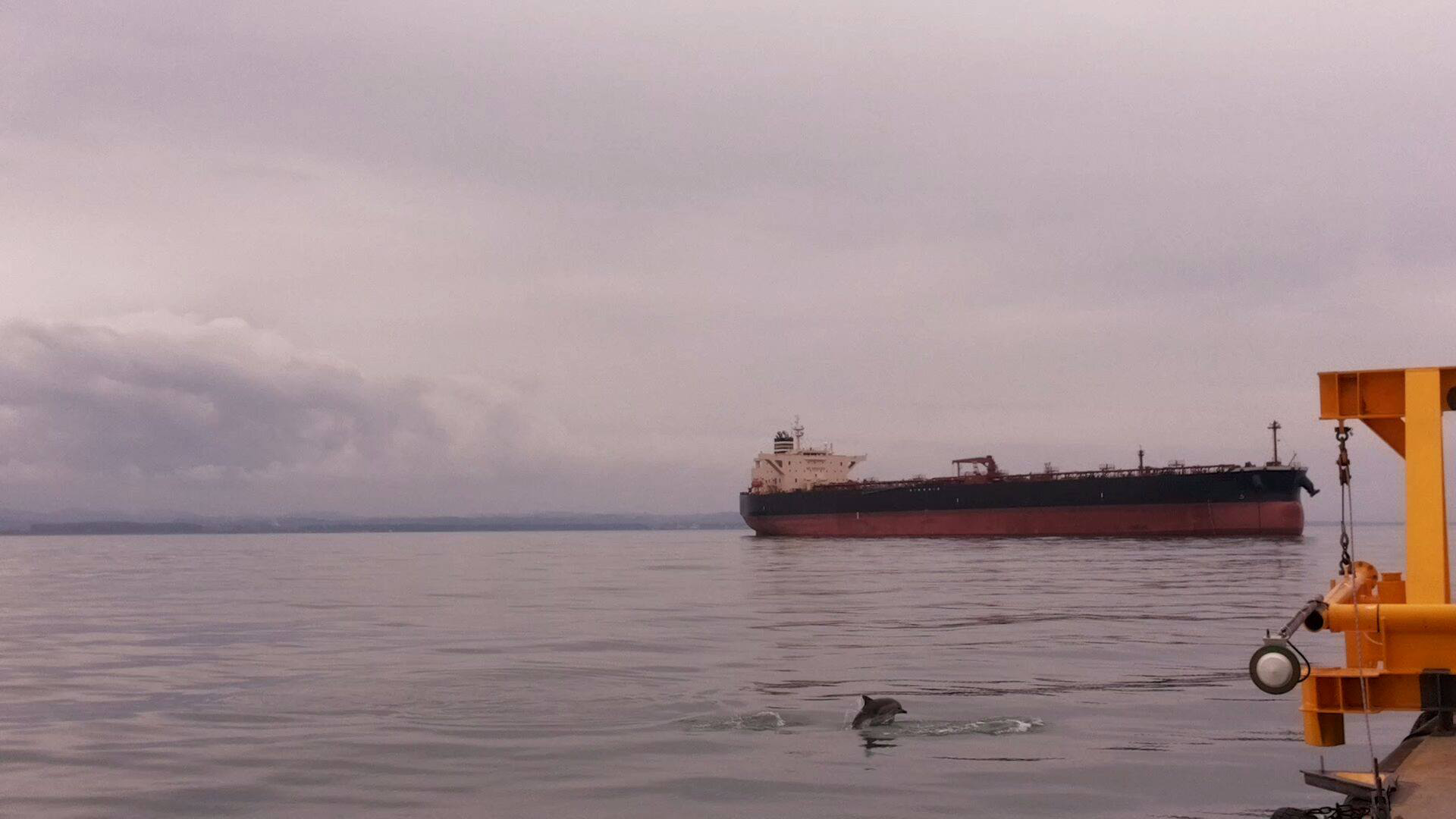
Photos