
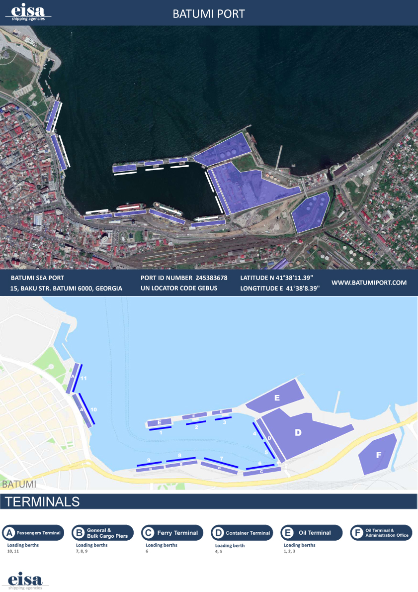
General Description
| UN/LOCODE: | GEBUS |
| Coordinates: | 41°38’45” N / 41°38’30” E |
| B.A. Nautical Chart No: | 3317 |
| Admiralty Sailing Directions: | NP24 |
| Time zone: | UTC + 4 hrs |
| Port Security Level: | 1 |
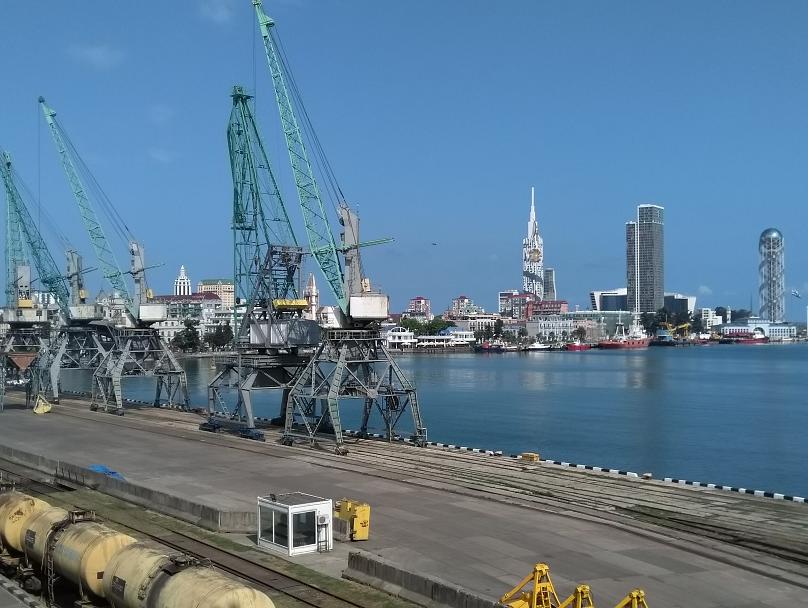
Batumi port consists of inner basin with (Berths №1 – 9), Passengers terminal (Berths №10 – 11) and CBM. The main factor of the port development was always the shipment of crude oil. Batumi port is a good organized Oil Terminal which has inner piers and single point mooring (CBM). Besides Oil Terminal (to the North), Batumi port is also equipped for general cargo, bulk (to the South), containerized (to the East) and passengers terminal (to the West) as well. Batumi port is important trunk of Eurasian transport corridor and has status of big transportation link of international value.
Pilotage & Towage is compulsory for all ships. Night time berthing/un-berthing is permitted but for large capacity ships is on the consideration of duty pilot.
Anchorage Areas
There is one area: Area № 100
Port Restrictions
- Max LOA allowed 235 meters at the port and 250 meters at CBM
- Max allowed draft 10.50 meters at the harbor and 13.50 meters at CBM
- Salinity ranges from 1.009 – 1.010 – the port is considered as brackish water port
Tide
Batumi port has not tidal variations.
Weather Restrictions
- Batumi port is not protected with breakwater
- Batumi is an Ice Free port
Working Hours
Batumi Port operates 24/7 except from the below mentioned time breaks:
- 08:00 – 08:30 lt & 20:00 – 20:30 lt / Shift of gangs
- 00:00 – 01:00 lt & 13:00 – 14:00 lt / Meal break
Services
- Fresh water supply by barge
- Crew shore leave and Crew changes
- Marine Technical Services
- Garbage disposal which is compulsory and included in Sanitary Dues
- Sewage waters disposal
Maps
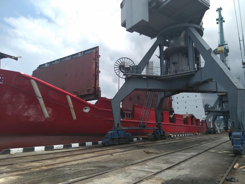
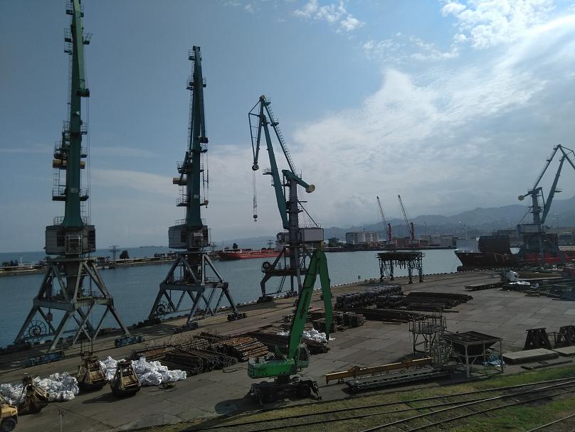
Photos