
General Description
| UN/LOCODE: | GEPTI |
| Port Coordinates: | 42°18’N / 41°39’E |
| B. A. Nautical Chart No: | 3317 |
| Admiralty Sailing Directions: | NP 24 |
| Time zone: | UTC +4 hrs |
| Port Security Level: | 1 |
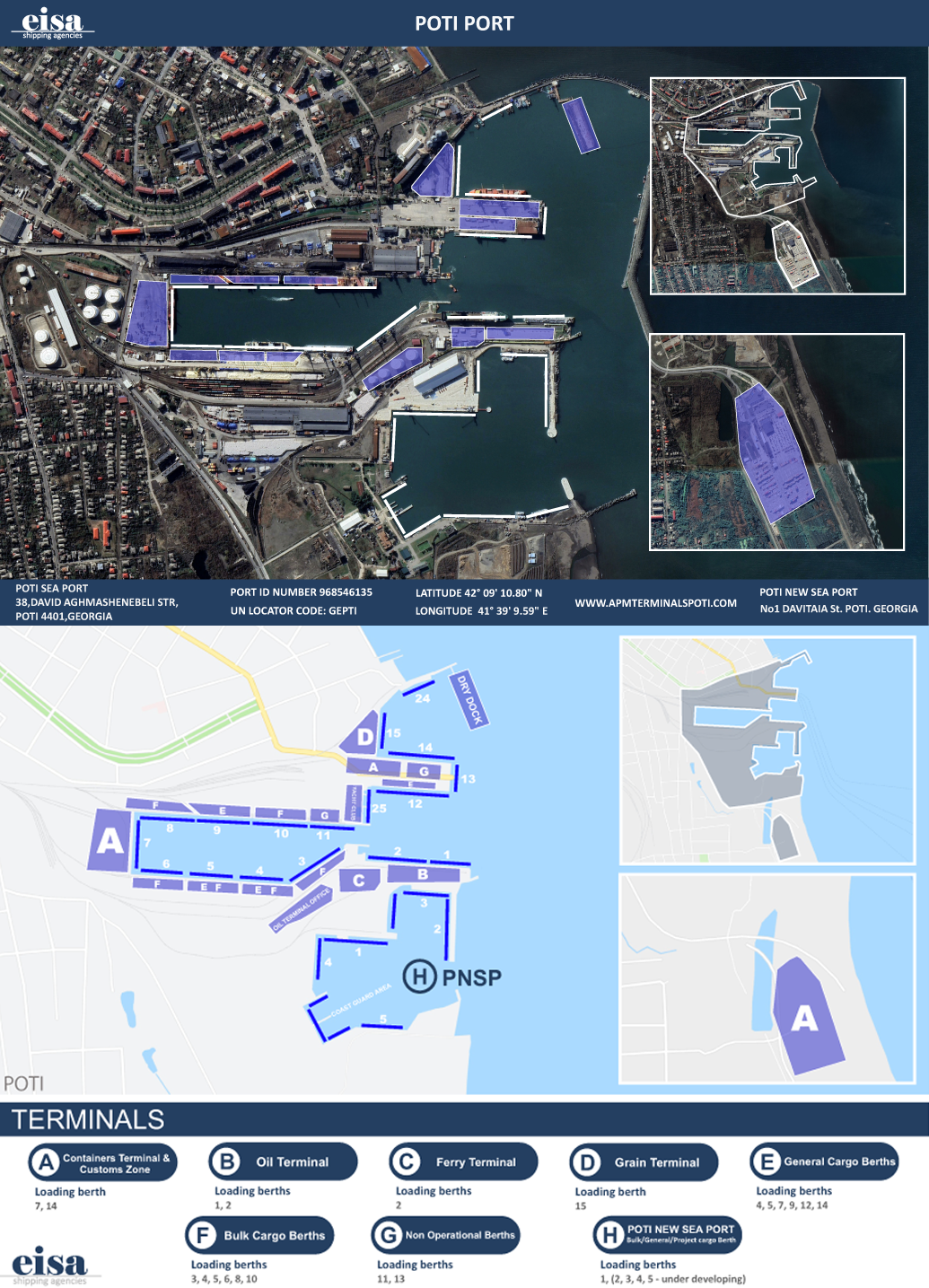
Poti port currently serves as the European gateway for international trade in Georgia, Armenia and Azerbaijan, and is ideally located to become a future hub for Central Asia trade.
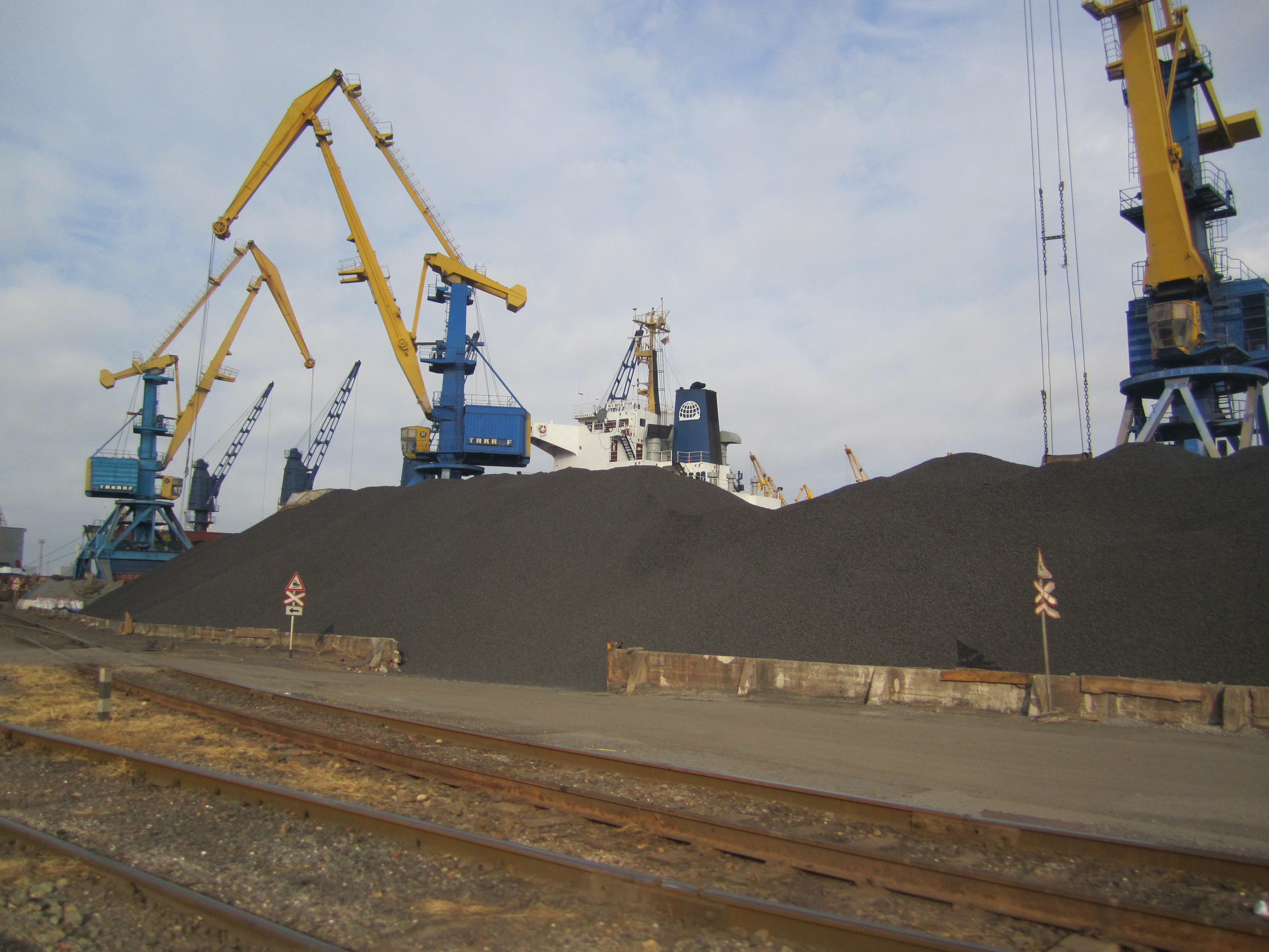
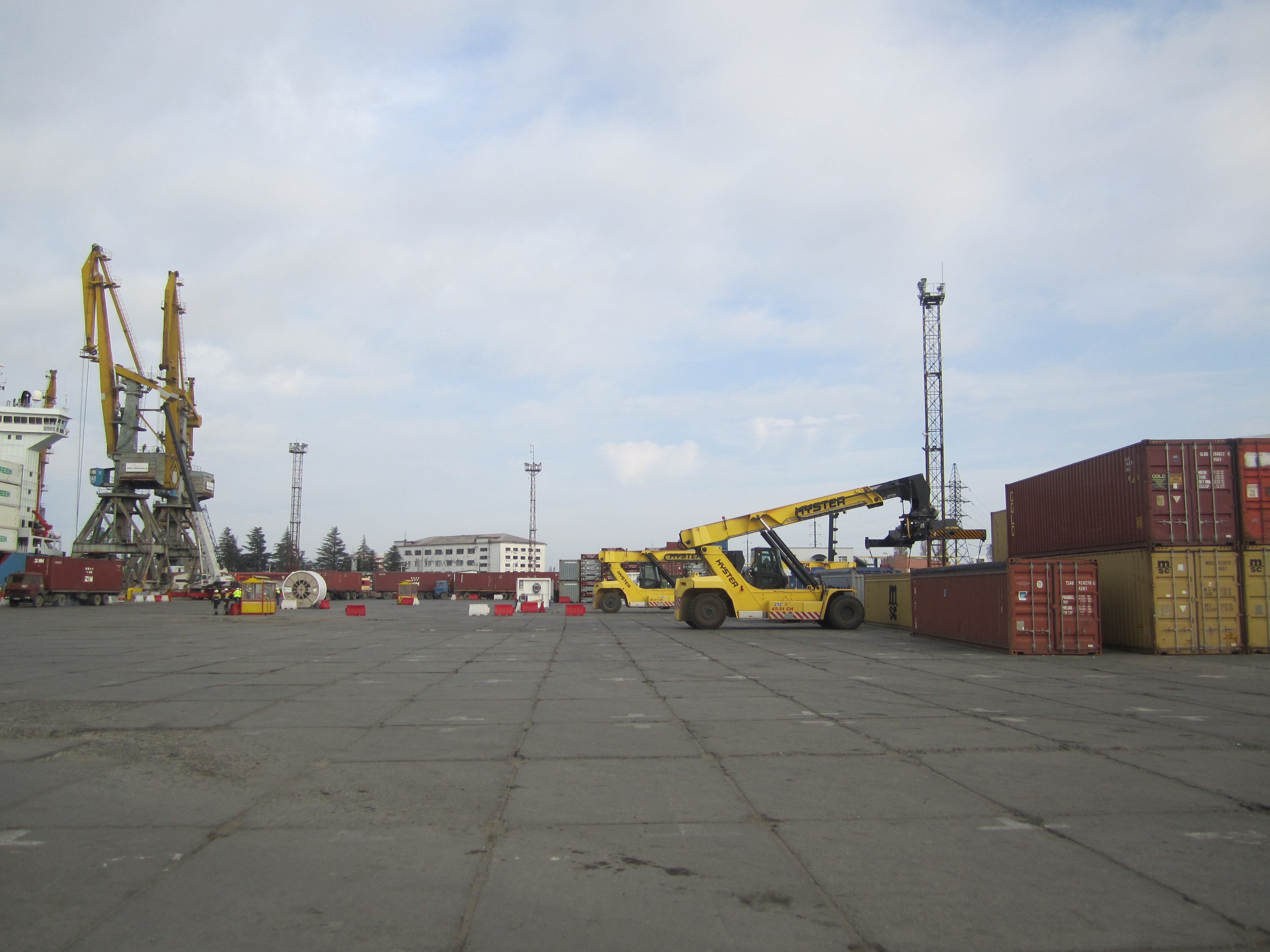
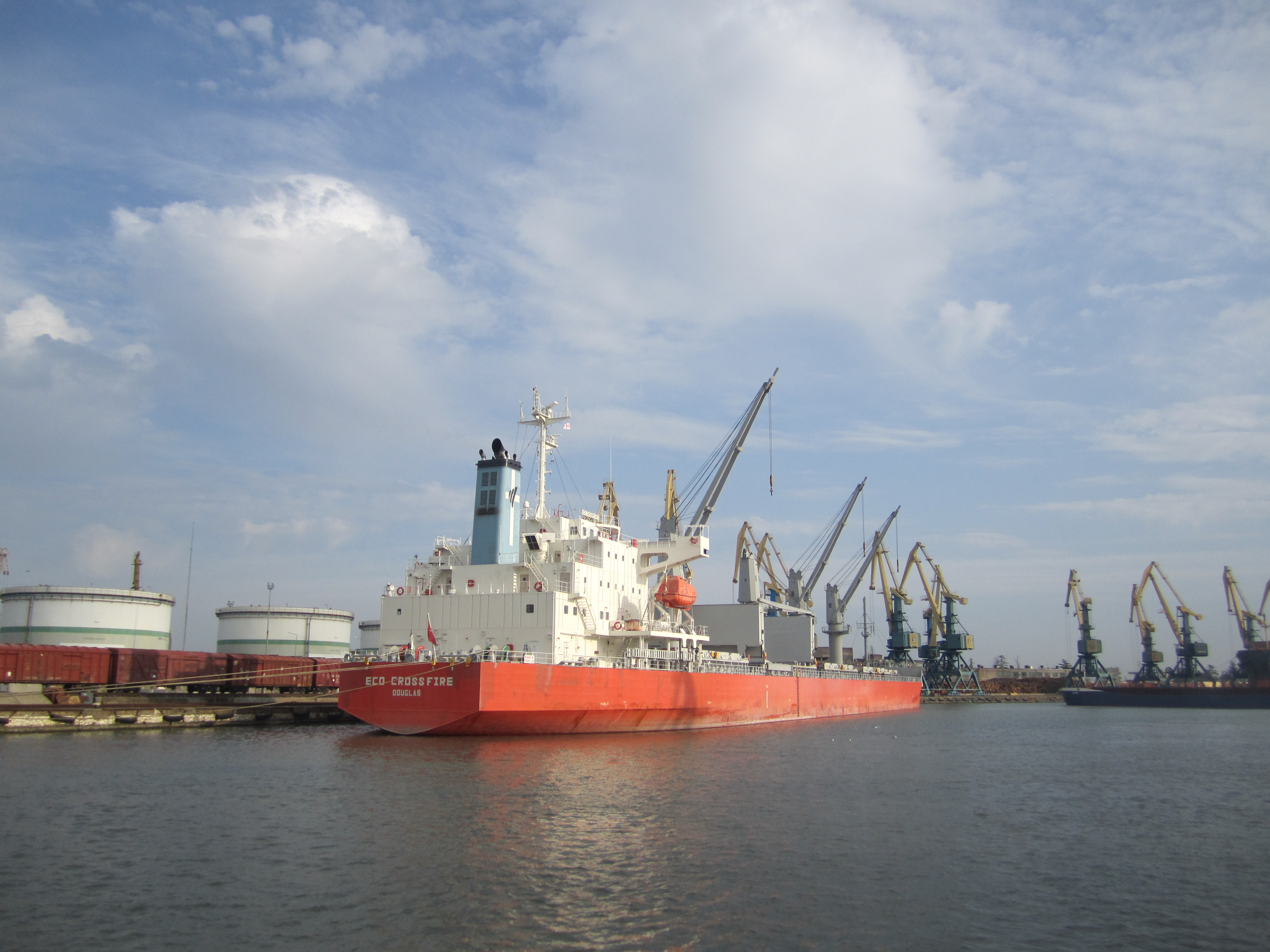
Strategically-located, it is the largest port in Georgia handling liquid and dry bulk, general and project cargo, containers and ferries. It has 15 berths, with total berth length of 2,900 meters and more than 20 quay cranes. Poti Port starts with an approach channel 1.6 kilometers long and consists of 2 elbows. First elbow is 950 meters long and 100 meters wide, and the second elbow is 650 meters long and 50 meters wide. All along, the approach channel is 12.5 meters deep.
Pilotage & Towage is compulsory for all ships. Port navigation 24 hrs for vessels with LOA under 180 m. No night navigation for vessels with LOA more than 180 m.
Anchorage Areas
There are 2 anchorage areas:
- Area № 300 for dry cargo vessels
- Area № 200 for tankers
Port Restrictions
- Max LOA 195 m basis one pier and 240 m basis vessel allocated at two piers. Max beam 35 m
- Max allowed draft in port channel: 9.80 m
- Salinity ranges from 1.010 – 1.012, the port is considered as brackish water port
- No air draft restrictions
Berth №3
Length: 215 m
Cranes: 4 shore cranes
Allowable draft alongside: 6.70 m (vessel/pier)
Operations rate per 24 hrs wwd: about 3500-4000 mts
Berth №4
Length: 154 m
Cranes: 4 shore cranes
Allowable draft alongside: 7.00 m (vessel/pier)
Operations rate per 24 hrs wwd: about 3500-4000 mts
Berth №5
Length: 173 m
Cranes: 4 shore cranes
Allowable draft alongside: 6.50 m (vessel/pier)
Operations rate per 24 hrs wwd: about 3500-4000 mts
Berth №8
Length: 217 m
Cranes: 4 shore cranes
Allowable draft alongside: 8.50 m (vessel/pier)
Operations rate per 24 hrs wwd: about 4500-5000 mts
Berth №10
Length: 268 m
Cranes: 4 shore cranes
Allowable draft alongside: 7.50 m (vessel/pier)
Operations rate per 24 hrs wwd: about 4500-5000 mts
Tide
Poti has no tidal variations.
Weather Restrictions
- Poti port is protected with an almost 2km long breakwater, allowing the port to perform handling operations despite adverse weather conditions
- Poti is an ice free port
- Weather restriction for port navigation and handling operations: Sea state: 4-5 (Douglas); Wind speed: 15 m/sec and more
Working Hours
Poti Port operates 24/7 except from the below mentioned time breaks and holidays:
- 08:00 – 08:30 lt & 20:00 – 20:30 lt / Shift of gangs
- 00:00 – 01:00 lt & 13:00 – 14:00 lt / Meal break
- New Year Holiday between 31 Dec at 20:00 hrs lt and 01 Jan at 08:00 hrs lt
Official Holidays:
- 1-2 Jan
- 7 Jan
- 19 Jan
- 3 Mar
- 8 Mar
- 9 Apr
- 3-6 May
- 9 May
- 12 May
- 26 May
- 28 Aug
- 14 Oct
- 23 Nov
Services
- Crew changes
- Fresh Water supply from shore
- Garbage disposal which is compulsory and is included in Sanitary dues
- Bunkering by truck (gasoil only)
- Tech supply / Provisions
- On/Off Hire Survey
- Marine Technical Services
- Draft surveys, hatch sealing surveys and cargo surveys
Maps
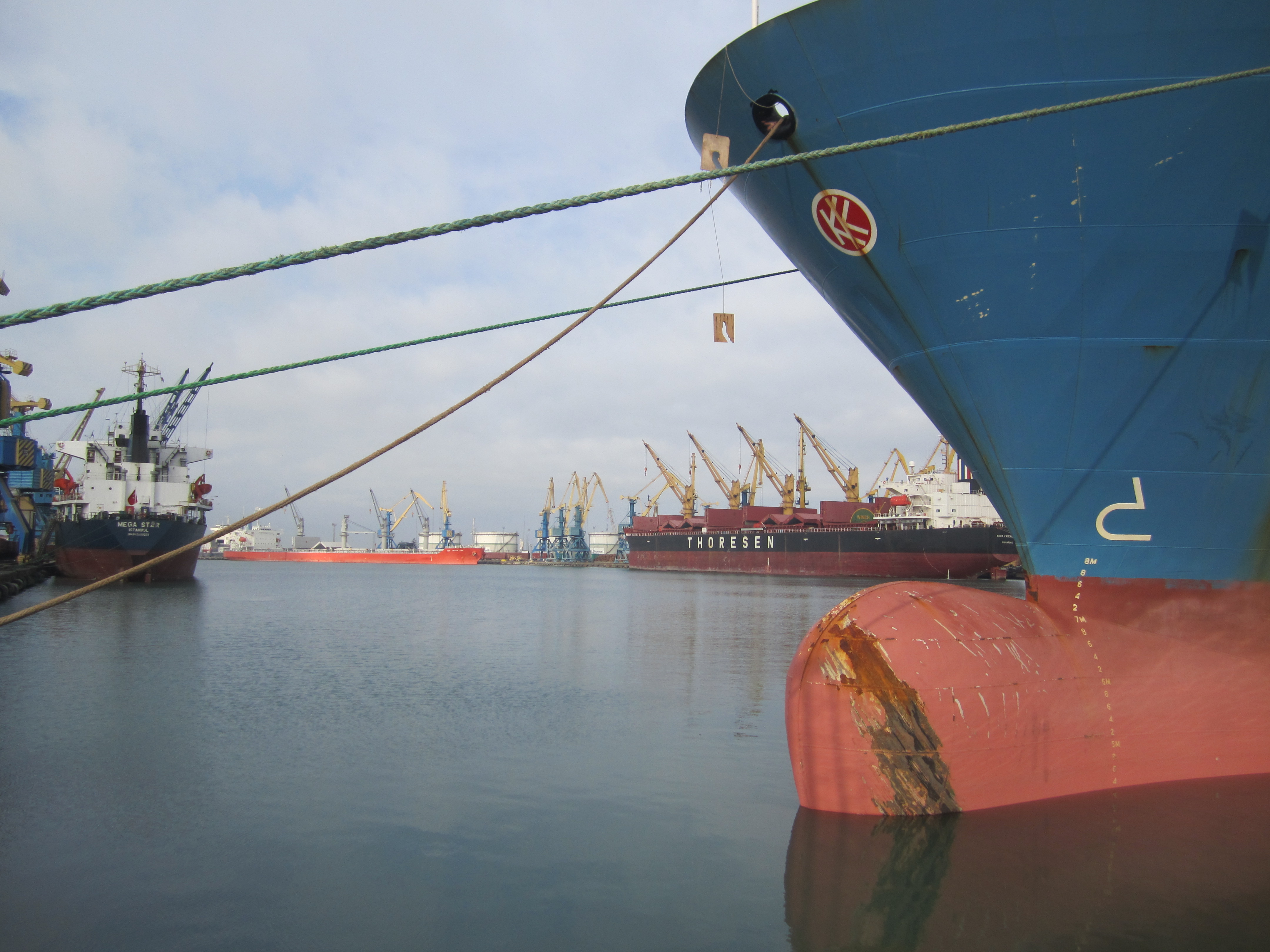
Photos